
Aerial Field Services (AFS) is a pioneering drone service provider based in the Northern Tier region of Pennsylvania, dedicated to bringing advanced aerial technology to agriculture, construction, and energy industries. We are not a drone distributor – we are a service-driven company on a mission to deliver actionable aerial data and precision services that help our clients make smarter decisions. Our team of certified drone pilots and industry experts combines local expertise with cutting-edge technology to support the needs of farmers, construction managers, and energy sector leaders in our community.
One key factor that sets AFS apart is our service-based business model. Unlike drone distributors or retailers, we do not focus on selling hardware or making one-time transactions. Instead, our focus is on delivering end-to-end aerial services that provide value over the long term. This model benefits our clients in several ways:
Clients don’t need to invest tens of thousands of dollars in drones or sensors. We’ve made that investment on their behalf, deploying top-of-the-line drones like DJI Agras, Mavic, and Matrice models as part of our service.
Our pilots are highly trained and FAA-certified, so clients gain immediate access to skilled professionals rather than having to learn drone operation themselves. We handle everything from flight planning to data analysis.
We tailor our services to each client’s needs. A distributor might sell a drone and leave you to figure it out, but we work closely to understand your problem – be it crop disease, site surveying, or inspection – and then use the right drone technology to solve it.
Because we are service-oriented, our relationship with clients is ongoing. We provide post-flight data processing, reports, and even consultation on how to implement the insights. Essentially, we become your aerial data partner rather than a one-time vendor.
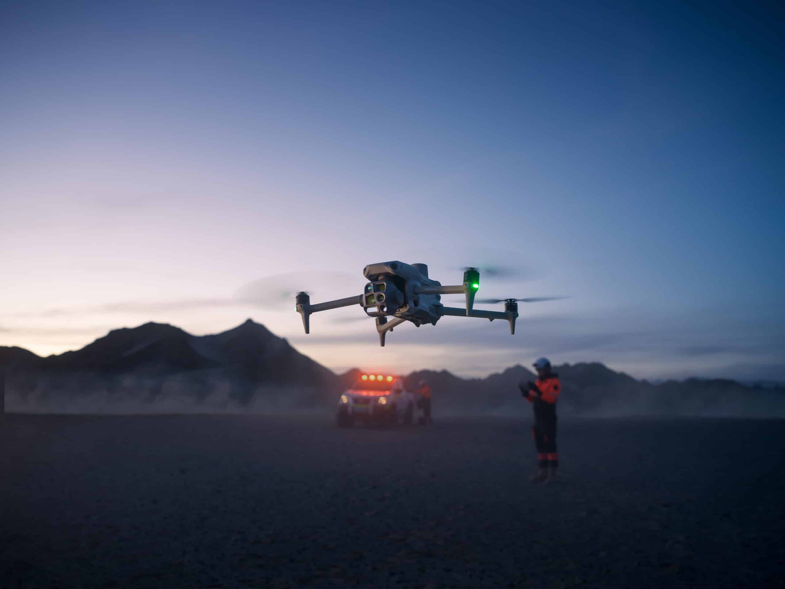
Our team at AFS is composed of professionals with diverse expertise across agronomy, geomatics (surveying and mapping), and industrial inspections. We have FAA Part 107 licensed remote pilots who bring years of flight experience, as well as specialists familiar with agricultural science and construction management. This blend of skills allows us to tackle projects holistically – for example, an agronomist on our team can interpret multispectral imagery of crops, while our GIS specialist can create detailed topographic maps from drone data for a construction site. We continually invest in training and stay up-to-date with industry advancements through certifications and workshops. Each member of our crew is passionate about the power of drone technology and shares a commitment to operate safely, ethically, and efficiently.
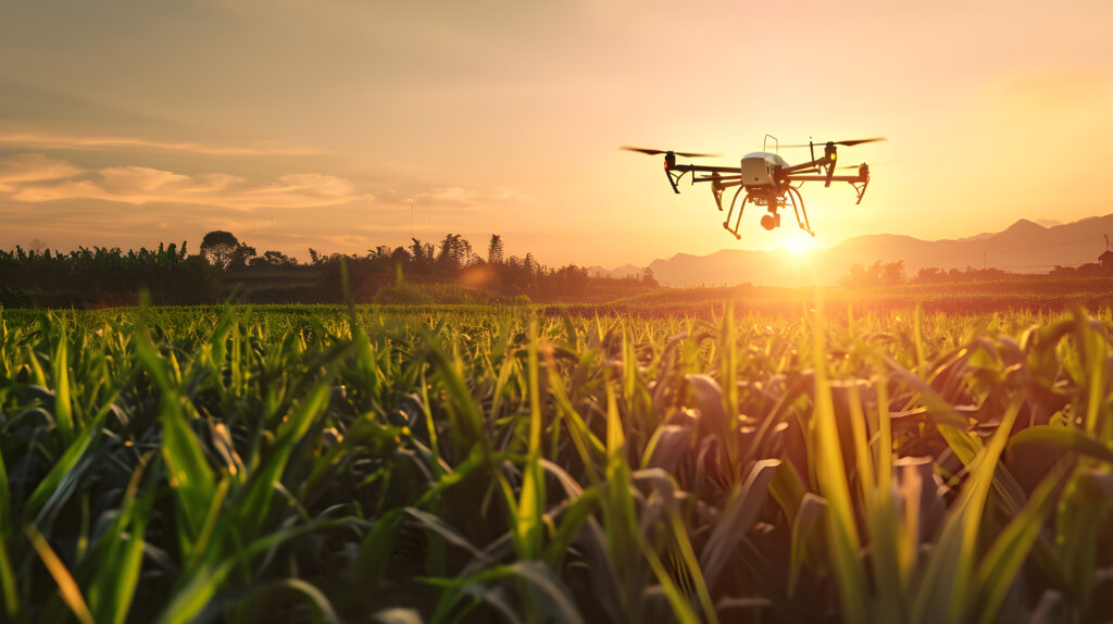
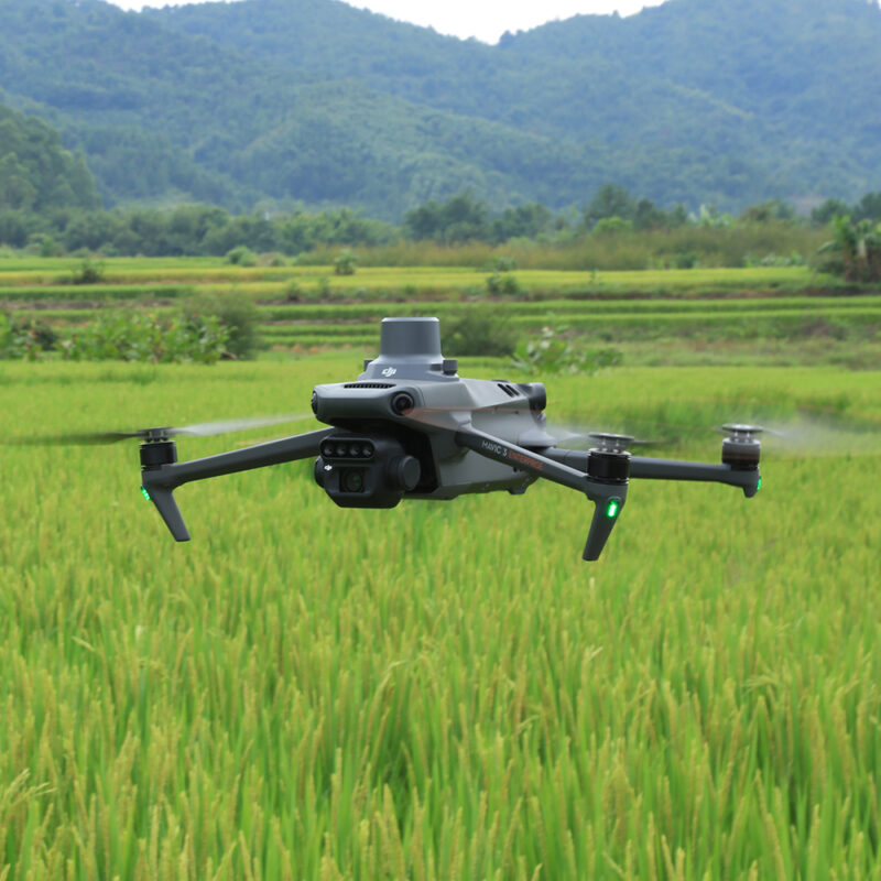
Modern agriculture is evolving rapidly, and drone technology is at the forefront of this farming revolution. At Aerial Field Services, we provide specialized Agricultural Drone Services that help farmers of corn, soybeans, wheat, and other crops maximize yields and reduce input costs. Our services include precision drone spraying, multispectral crop imaging, and health monitoring – all tailored for farmers who may be unfamiliar with drones but are eager to improve their operations.
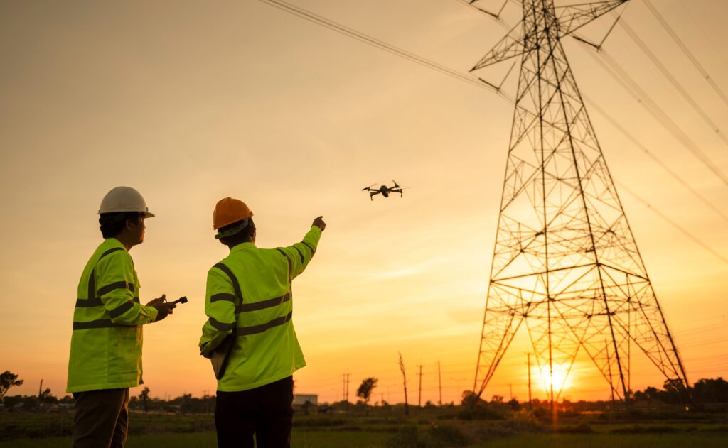
In today’s fast-paced project environments, accurate maps and surveys are indispensable. Aerial Field Services provides Drone Mapping & Surveying Services that deliver high-resolution maps, 3D models, and survey data faster and often more cost-effectively than traditional methods. We support a variety of applications – from construction site mapping and monitoring, to gas pad and pipeline route surveys, to agricultural land planning. Using advanced drones such as the DJI Mavic series, Matrice series, and even our Agras T50 (equipped with mapping sensors), we capture aerial data with precision and turn it into actionable insights like orthomosaic maps, topographic surveys, and volume measurements.
Agricultural Powerhouse
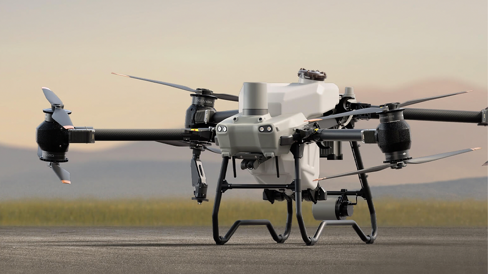
When it comes to agricultural drone services, the DJI Agras T50 is our go-to machine. This drone is an agricultural spraying powerhouse, purpose-built for tasks like crop spraying and spreading fertilizers or seeds. Here’s what makes the Agras T50 stand out.
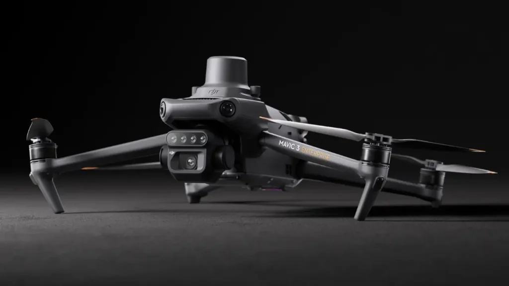
The Versatile Mapper and Scout (COMING SOON)
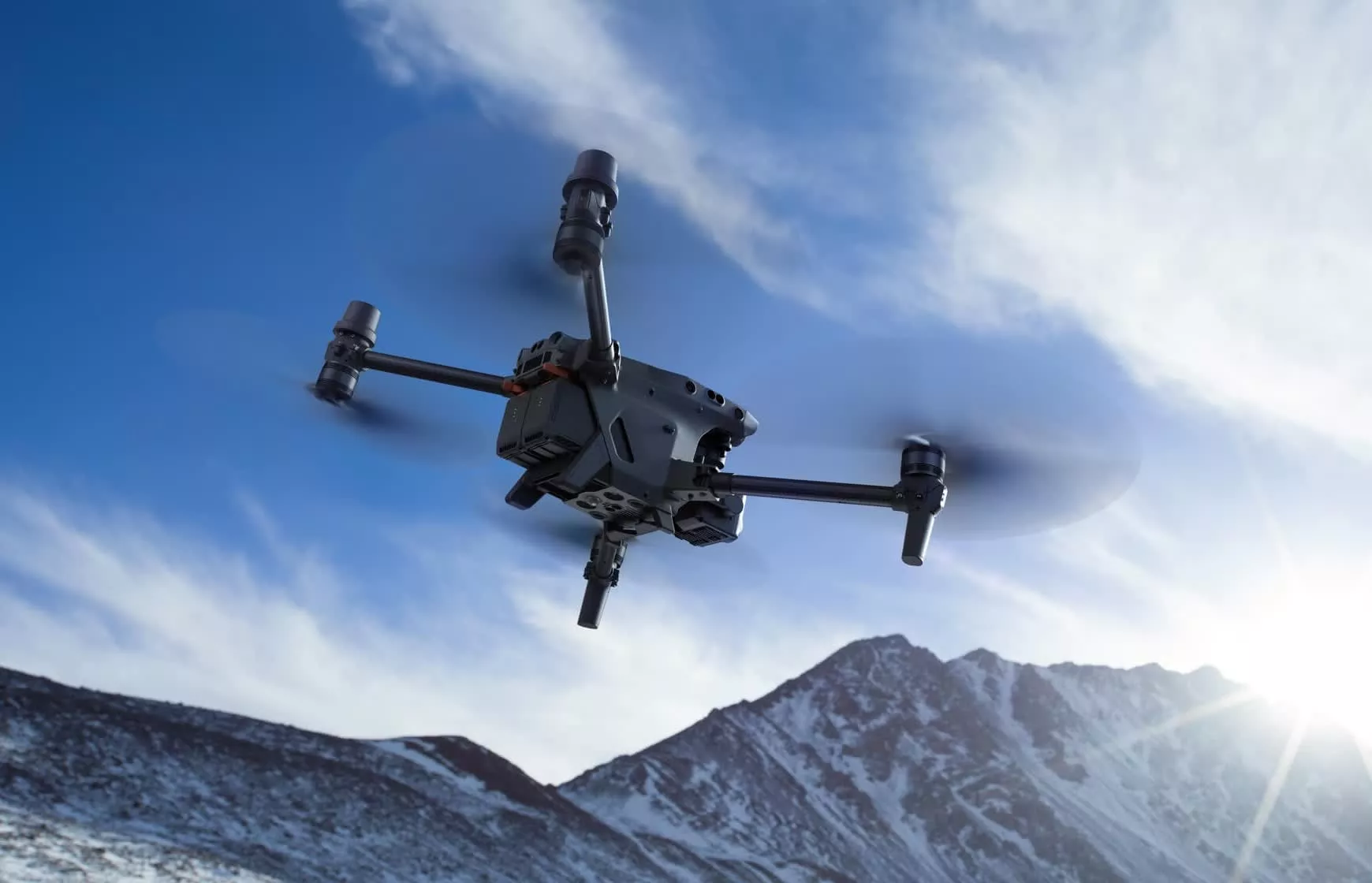
For our mapping, surveying, and inspection tasks, the DJI Mavic series drones have been indispensable, and we’re gearing up to utilize the DJI Mavic Enterprise as the next evolution in this lineup. The Mavic series is known for packing professional capabilities into a portable form factor.

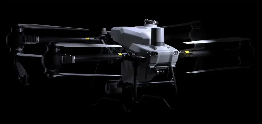
Industrial-Grade Workhorse (COMING SOON)
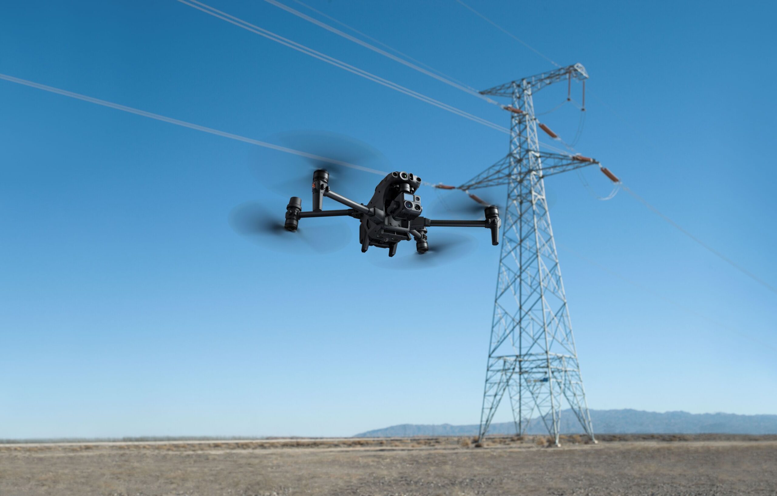
For the most demanding and specialized tasks, we rely on the DJI Matrice series drones, particularly the Matrice 4, which is an industrial-grade platform loaded with features for enterprise use.
© 2012–2025, aerial field services. All rights reserved.